Google Maps has introduced real-time updates for Dublinbikes
Dublin is one of 24 cities where Google has rolled out the new feature.

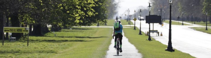
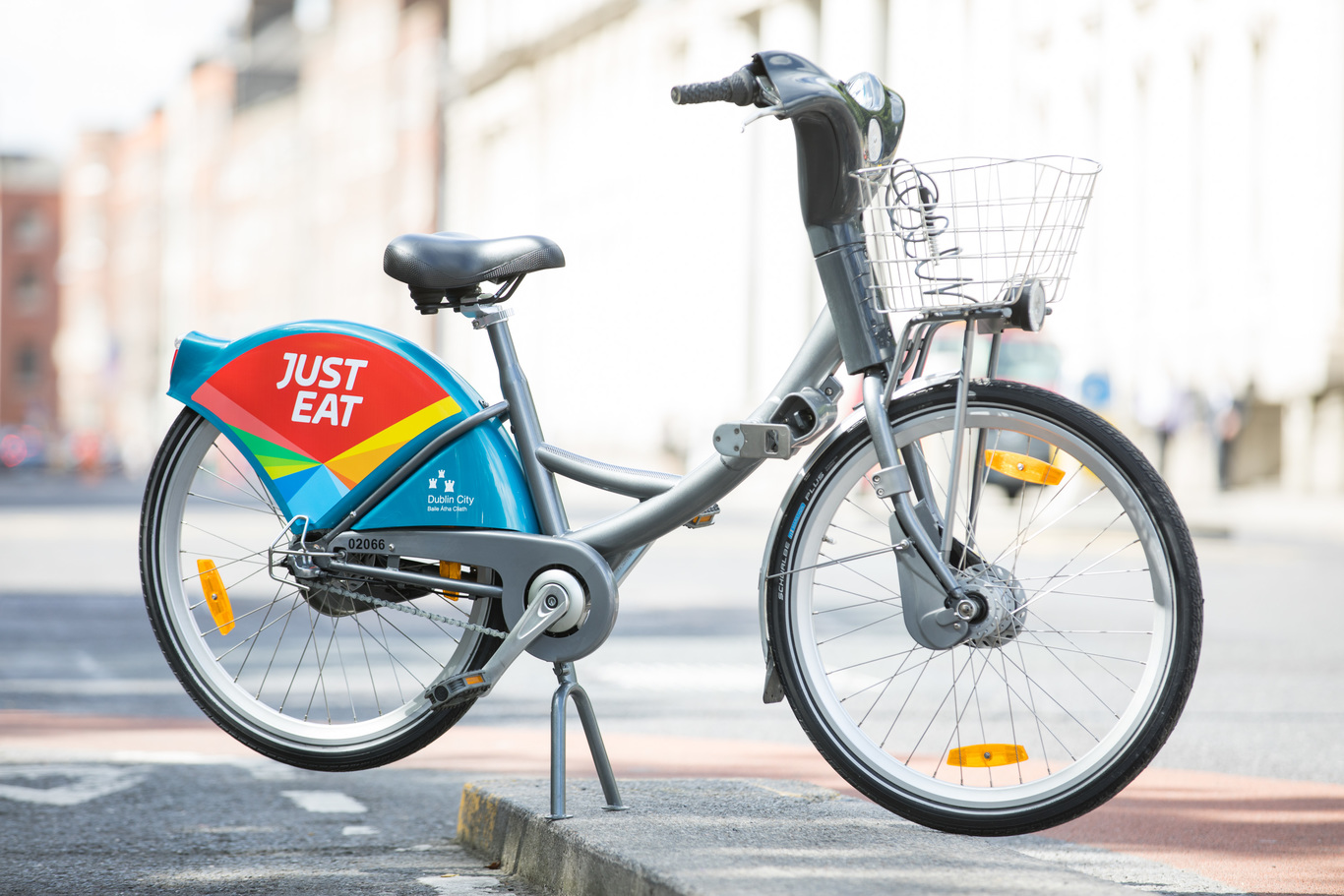
DUBLIN COMMUTERS ARE now able to use Google Maps to check if a bike is free at their nearest Dublinbikes station.
As part of a global roll-out of bike-sharing station information, Google said it has fully integrated real-time information from Dublinbikes stations into Google Maps.
A Google spokesperson told Fora the initiative will “make finding and returning bikes much easier” for over 70,000 people who subscribe to Dublinbikes and who have made almost two million journeys this year.
“Now they can see at a glance their nearest station, how many bikes are available, and how many stands are free – all without leaving the app,” the spokesperson said.
Dublin City Council told Fora that Dublinbikes provides the data as open source and so it is publicly available for use. JCDecaux has been operating the Dublinbikes contract on behalf of Dublin City Council since its launch in 2009.
The data has been made available through a partnership with Google and Ito World, a company which looks at how data and alternative transport can aid congested cities.
Google’s rollout in Dublin is part of a larger programme that was tested in New York over the last year and will be available from today in 24 cities worldwide, including Toronto and New Taipei City.
In a blog post published by the tech giant it said that with an estimated 1,600 bike-share systems and more than 18 million shared bikes in urban centers worldwide, it “has gone mainstream”.
“Bikesharing is booming as this two-wheeled technology transforms how people get from A to B in cities around the planet,” the company said in the blog post.
Get our Daily Briefing with the morning’s most important headlines for innovative Irish businesses.